Nissan Almera Tino V10 (2001 year). Manual - part 136
3
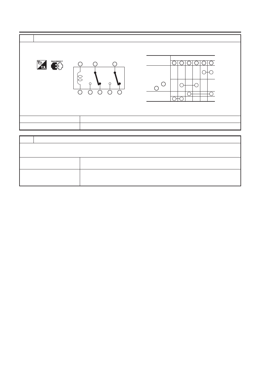
CHECK SPEAKER RELAY
Check continuity speaker relay terminals in the condition below.
Speaker relay
1
2
3
4
5
6
7
8
Condition
Terminal
Other than
above
5V direct
current
applied
between
terminal
and
1
2
3
4
5
6
7
8
SEL624X
OK or NG
OK
©
GO TO 4.
NG
©
Replace speaker relay.
4
CHECK SPEAKER OPERATION
Does front LH speaker sound when audio operates?
Yes or No
Yes
©
Check harness for open or short between speaker relay terminals 6, 7 and also between
NAVI control unit terminals 42 and 43.
No
©
Check the following.
+
Speaker
+
Harness for open or short between audio and speaker relay
NAVIGATION SYSTEM
Trouble Diagnoses (Cont’d)
EL-431