Mazda 6 Sports Sedan (2006 year). Instruction - part 2
22
Be
fo
re
Us
e
G
e
tti
n
g
sta
r
te
d
Ro
uti
n
g
Destination Entry and Route Search
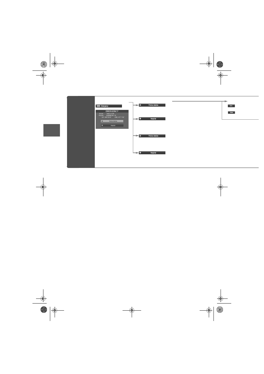
Emergency
Select
When stopped
Displays the police
station select screen.
Displays the hospital
select screen.
When driving
Sets the destination to the
nearest police station
automatically.
Sets the destination to the
nearest hospital
automatically.
Select the sort meth
: Sorts the police s
the hospital by Distance
: Sorts the police s
the hospital by name.