Infiniti QX4. Electrical System (2003 year). Manual - part 35
SEL460Y
“TRACKING” MODE
NBEL0426S11
1.
Start the engine.
2.
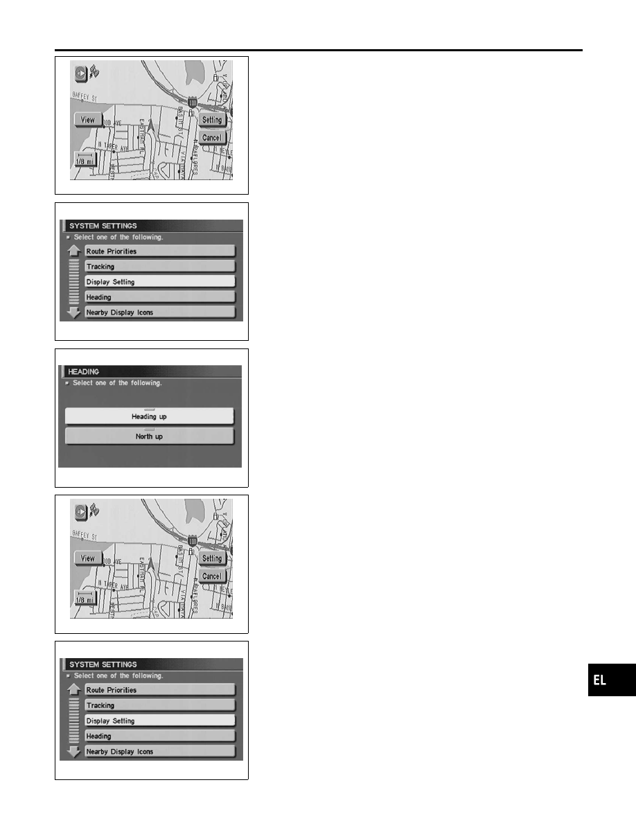
Push the “MAP” switch.
3.
Touch “Setting”.
4.
Touch “System Setting”.
SEL467Y
5.
Touch “Tracking”.
SEL470Y
6.
Touch the “On” or “Off” icon.
쐌
If you don’t need a trail on the map, select “Off”.
쐌
If you need a trail on the map, select “On”.
7.
Push the “MAP” switch to return the display to the current
location map.
NOTE:
When a trail display is turned OFF, trail data is erased from the
memory.
SEL460Y
“HEADING” MODE
NBEL0426S12
1.
Start the engine.
2.
Push the “MAP” switch.
3.
Touch “Setting”.
4.
Touch “System Setting”.
SEL467Y
5.
Touch “Heading”.
GI
MA
EM
LC
EC
FE
AT
TF
PD
AX
SU
BR
ST
RS
BT
HA
SC
IDX
NAVIGATION SYSTEM
Setting Mode (Cont’d)
EL-549